")
")
 We have developed a new service, “Drone FM” – Technical Documentation of Areas,” for technical documentation of large areas and for determining the real condition of areas.
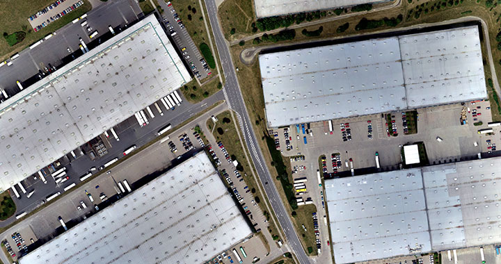
 We can provide a fast and accurate solution for comparing real areas with cadastral maps. Besides determining the exact surface area, the service also makes it possible to layer types of areas, such as roads, greenery, built-up areas, car parks, etc.
Our technical documentation service saves both time and money in comparison with the usual geodesic methods.
Please, view our detailed product sheet for “Drone FM” – Technical Documentation of Areas.”

